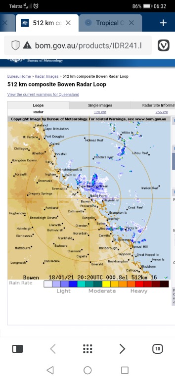
Just a low off Townsville now. Barely showing on radar.

Headline:
Cyclone Kimi has weakened into a tropical low off the north Queensland coast. Significant impacts on the coast are no longer expected, although heavy rainfall remains a possibility.
Areas affected:
Warning zone: None.
Watch zone: None.
Cancelled zones: Lucinda to Bowen.
Details of Ex-Tropical Cyclone Kimi at 4:00 am AEST:
Intensity: tropical low, sustained winds near the centre of 65 kilometres per hour with wind gusts to 95 kilometres per hour.
Location: within 55 kilometres of 18.3 degrees South, 147.6 degrees East , 250 kilometres southeast of Cairns and 135 kilometres northeast of Townsville .
Movement: slow moving .
Cyclone Kimi has weakened into a remnant tropical low off the north Queensland coast.
The system is expected to remain slow-moving well off the coast through much of today, then begin tracking back towards the north-northwest from late this afternoon as a weak tropical low.
A coastal crossing as a tropical cyclone is no longer expected.
Hazards:
GALES are no longer expected about coastal and island areas.
HEAVY RAINFALL with the potential to produce flash flooding and major river flooding may still affect coastal areas between Innisfail and Bowen on Tuesday and Wednesday if the remnant low moves closer to the coast. A Flood Watch is current for this area; refer to that product for more detail.
Tides will be slightly higher than normal between Bowen and Lucinda, however the sea level is not expected to approach the highest tide of the year.
Details:
Time (AEST) Intensity Category Latitude
(decimal deg.) Longitude
(decimal deg.) Estimated Position
Accuracy (km)
0hr 4 am January 19 tropical low 18.3S 147.6E 55
+6hr 10 am January 19 tropical low 18.4S 147.6E 50
+12hr 4 pm January 19 tropical low 18.5S 147.5E 70
+18hr 10 pm January 19 tropical low 18.3S 147.2E 95
+24hr 4 am January 20 tropical low 18.0S 146.8E 120
+36hr 4 pm January 20 tropical low 17.2S 146.2E 155
+48hr 4 am January 21 tropical low 16.5S 145.9E 190
+60hr 4 pm January 21 tropical low 15.8S 145.8E 225
+72hr 4 am January 22 tropical low 15.0S 145.6E 265
Tropical Cyclone information is also available in MetEye
Next Issue
There will be no further Forecast Track Maps issued for this system unless it reintensifies.

And just for comparison, in the greater scheme of things...

