Firstly thanks to colmait who has taught me some confidence to take some steps to talk about storm forecasts.I can recommend his first tutorial here
https://www.weatherforum...-formation-and-structure
It seems the potential for storms with this cold front is weak but not ruled out. Better chances over the border in West Vic. Better potential offshore .Hopefully we may catch a glimpse of something forming near Adelaide. The incoming cold air pool looks splendid on this afternoons satellite picture.. 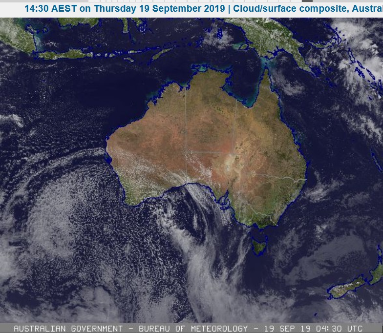 and BTW at 3pm it is 29deg c in Adelaide.  and here is Fridays forecast for Adelaide . No thunderstorm icon but a mention in the weather description as a chance The forecast rain will be welcome Friday 20 September Summary Min 12 Max 16 Rain easing. Possible rainfall: 5 to 15 mm Chance of any rain: 95% Adelaide area Cloudy. Very high (95%) chance of rain, easing to showers during the afternoon. The chance of a thunderstorm. Light winds becoming southwesterly 15 to 20 km/h in the morning then tending westerly 20 to 25 km/h in the middle of the day.
|


|
|
Font Color
Font Size
|
|
Important Information:
The Weather Forum uses cookies. By continuing to browse this site, you are agreeing to our use of cookies.
More Details
Close
